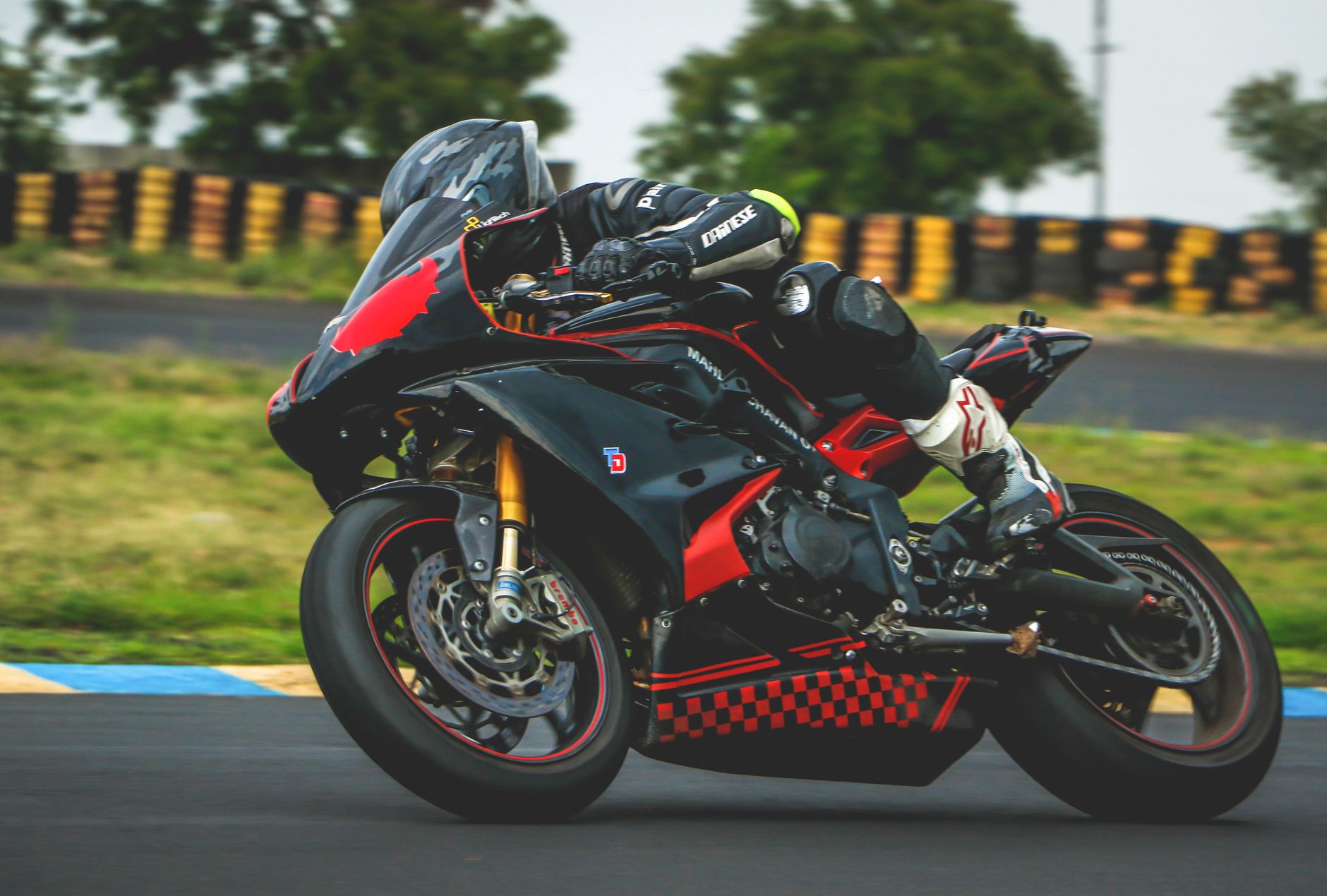
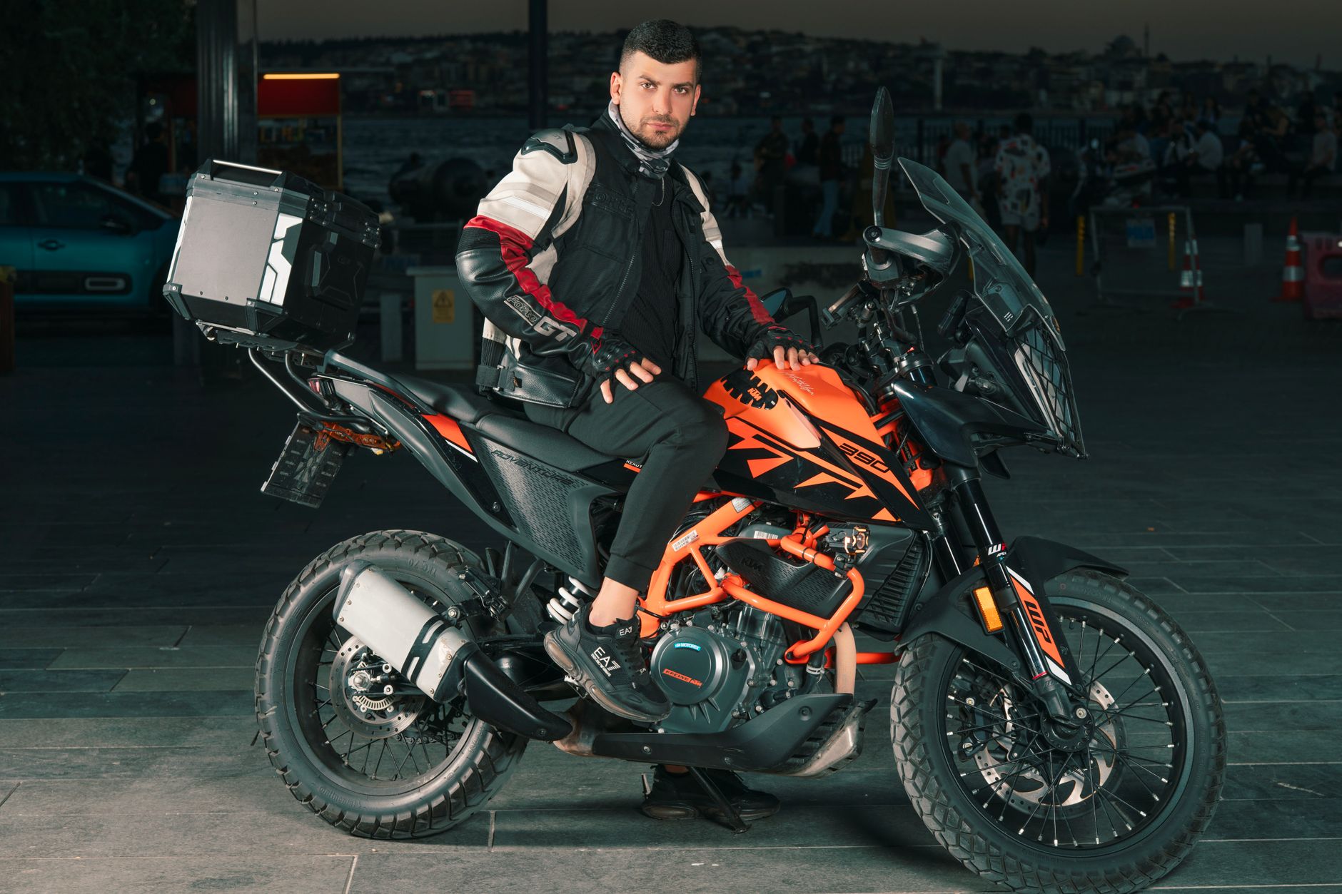
I've ridden the Cévennes three times over the past five years. Always in September or May, never in summer. The reason? The temperature drops 10°C when you climb Mont Aigoual, and in July with the tourists, you spend more time overtaking motorhomes than enjoying the bends. This 4-day route covers approximately 1,100 km, with daily distances between 250 and 350 km. Enough not to arrive exhausted in the evening, but sufficient to explore the roads nobody takes.
Day 1: Montpellier - Florac via Mont Aigoual (285 km)
Departure from Montpellier heading to Saint-Hippolyte-du-Fort via the D999. This section warms up the tires gently, 52 km of fairly wide national roads. At Saint-Hippolyte, fuel stop required at Carrefour Contact (last really convenient one for 80 km). Price generally €1.85/L for 98 octane.
The climb begins on the D999 to Le Vigan. Decent road, but watch out for gravel after rain on the verges. From Le Vigan, you take the D48 then the legendary D986 toward Montdardier. Here it gets serious: 15 km of tight sequences, perfect surface resurfaced in 2022. The bike leans naturally, you feel the grip.
L'Espérou marks the start of the D986 to the summit of Mont Aigoual (1,567 m). 12 km, 47 documented bends, 650 m elevation gain. Local bikers ride this section with their eyes closed. Temperature at the summit: expect 12°C less than in the plain. Last September, I left with 24°C in Montpellier, I had 11°C at the summit with 40 km/h winds. The heated jacket plugged into the 12V socket makes perfect sense.
Descent via the D18 toward Meyrueis. This road heads due north, less busy than the south side. More damaged surface for 3-4 km after the Col de la Serreyrède, stay alert. At Meyrueis, Total station, last fuel before Florac.
Direction Florac via the D996 which follows the Gorges du Tarn on the left bank. 35 km of winding road, narrow in places (2.5 m wide), tricky passing with cars. Riding in second and third, 40-60 km/h actual average.
Accommodation in Florac: "Le Marronnier" guesthouse at €28/night in dormitory, €45 for single room. Locked garage for 3 bikes. Owner is a biker, he has a compressor if you want to check pressures (I run 2.3 bar front / 2.5 rear solo loaded).
Day 2: Causses and Gorges Loop (320 km)
Departure around 8:30 AM toward Mende via the N106. Fast road, 37 km, you arrive for fuel (Avia station on the N88 at the edge of town). From Mende, take the D25 toward the Causse de Sauveterre. This road crosses lunar, almost desert landscapes. Plateaus at 1,000 m altitude, 5-6 km straight sections, then rolling sections. Strong crosswinds possible, especially spring/autumn.
The D986 between Sainte-Énimie and Le Rozier (Gorges du Tarn): 28 legendary km. The road hugs the rock wall, overlooks the river by 80 to 120 m. Hairpin bends, gradients up to 9%, unlit tunnels (3 in total). A technical delight. Watch out for tour buses between 11 AM and 4 PM, they take the full width. I always ride this section before 10:30 AM or after 5:30 PM.
From Le Rozier, climb to Point Sublime via the D995. 4 km, 380 m elevation gain, 16% in places. First and second only, the MT-07 struggles a bit fully loaded at 2,500 rpm. 180° viewpoint over the gorges, free parking.
Head back down and ride to Millau via the D187 (25 km). Lunch break, fuel at the Intermarché station (often €0.08/L cheaper than brand stations).
Return via the Gorges de la Jonte (D996). Road identical in difficulty to the Gorges du Tarn, but less busy. 21 km to Meyrueis. Then climb toward the Col de Montmirat (D996), 1,046 m, clear view of the Aigoual massif. Sporty descent toward Florac via the D996, 18 km, 42 bends. Decent surface but fallen leaves in autumn, slow down in shaded areas.
Return to the guesthouse around 6 PM. Day's mileage: 320 km, average consumption on my Tiger 900: 5.2 L/100 km (20 L tank).
Day 3: North toward Mont Lozère and Pic d'Anjeau (275 km)
High mountain day. Departure via the D998 toward Pont-de-Montvert. 28 km gradual climb, cool temperature even in May (8-10°C in early morning). Wide road, well maintained, little traffic.
From Pont-de-Montvert, the D20 climbs to the Col de Finiels (1,541 m), highest point of Mont Lozère. 14 km, bare moorland landscape, strong wind guaranteed. I recorded gusts at 65 km/h on my anemometer in September. The bike sways, squeeze your knees against the tank. No gas station for 90 km, minimum 8 liters reserve before leaving.
Descent toward Villefort via the D901. Magnificent road, wide bends, new surface for 18 km (resurfaced 2023). You can lean hard, excellent grip. Watch out for semi-free cows between July and September after the pass.
At Villefort, fuel at the Petite Epicerie du Lac (24/7 automatic credit card pump). Then direction Le Bleymard via the D901 (15 km). Coffee break at Bar du Commerce if you want to rest your butt.
In the afternoon, tackle Pic d'Anjeau via the small departmental roads. Take the D5 from Le Bleymard toward the Col des Tribes (1,120 m). 9 km winding, narrow (2 m wide), difficult passing. Slow but technical riding. At the pass, turn onto the D35 toward the hamlet of Finiels, then track for 800 m (passable on adventure bikes like Ténéré 700, difficult on heavy GTs). Pic d'Anjeau peaks at 1,563 m, 360° panoramic view.
"Mont Lozère is the playground where you understand that your bike isn't too powerful, but that your fuel is limited. Real riding management is anticipating 80 km without a pump." — Personal road diary, May 2022
Return toward Florac via the D20 south, then D998. Arrival around 5:30 PM.
Camping option: Florac municipal campground at €12/night + €3 for the bike. Clean facilities, hot water, electrical outlets. Some shaded spots under chestnut trees.